-
Start
-
Sesimjeong
-
Beopjusa
-
Camping Park
-
Hwayang Valley’s
-
Jungwon University
-
Hoban Nangmangil
-
Finish
Boeun Songnisan National Park trails, Sesimjeong trails
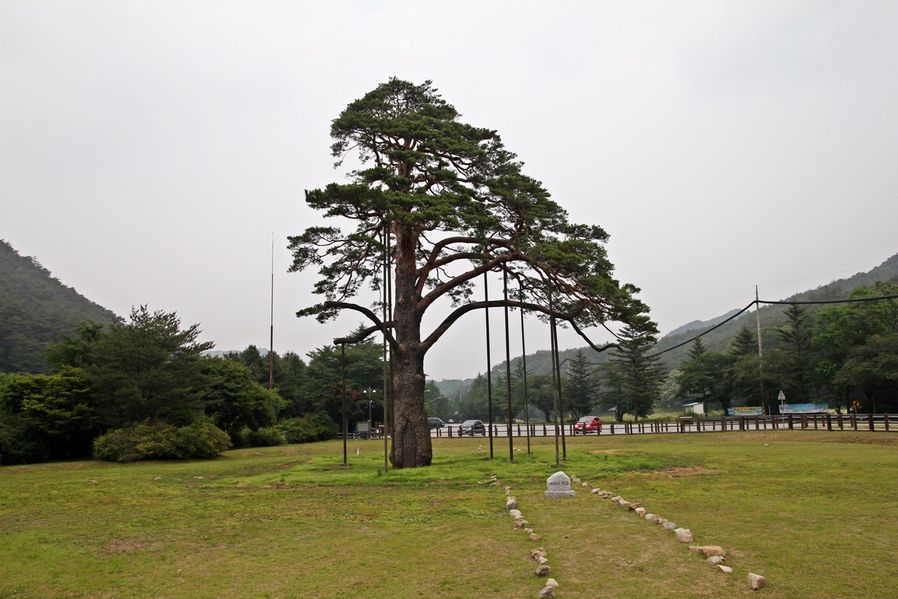
Address : 17-3, Sangpan-ri, Songnisan-myeon, Boeun-gun, Chungcheongbuk-do (충청북도 보은군 속리산면 상판리 17-3)
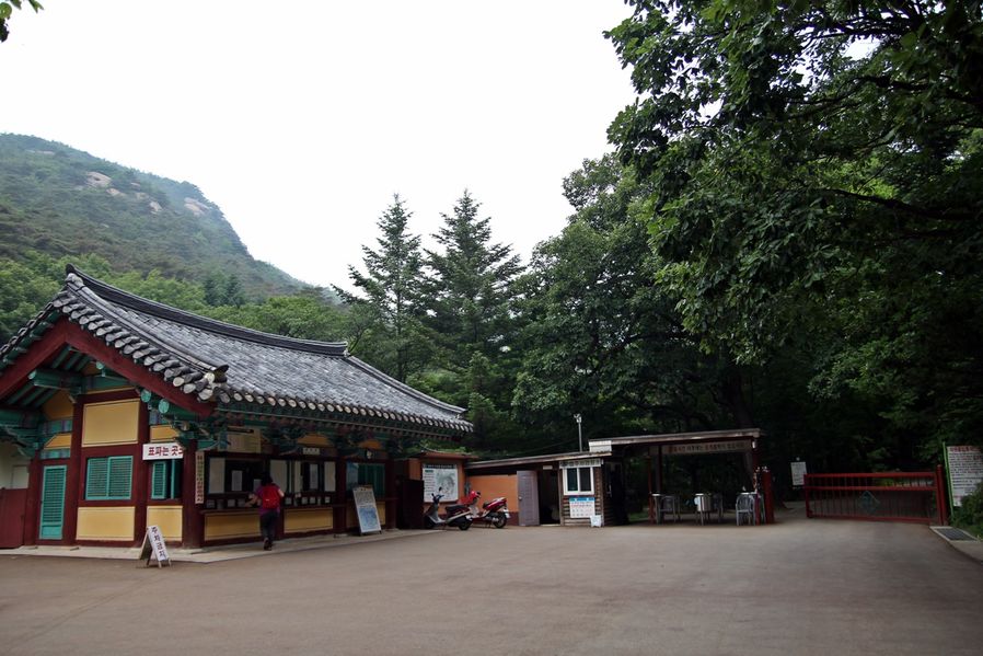
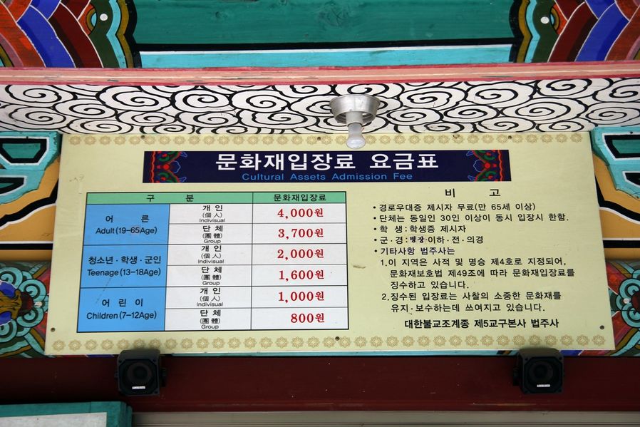
The entrance fee for an adult is 4,000 won, for a student 2,000 won and for a minor 1,000 won.
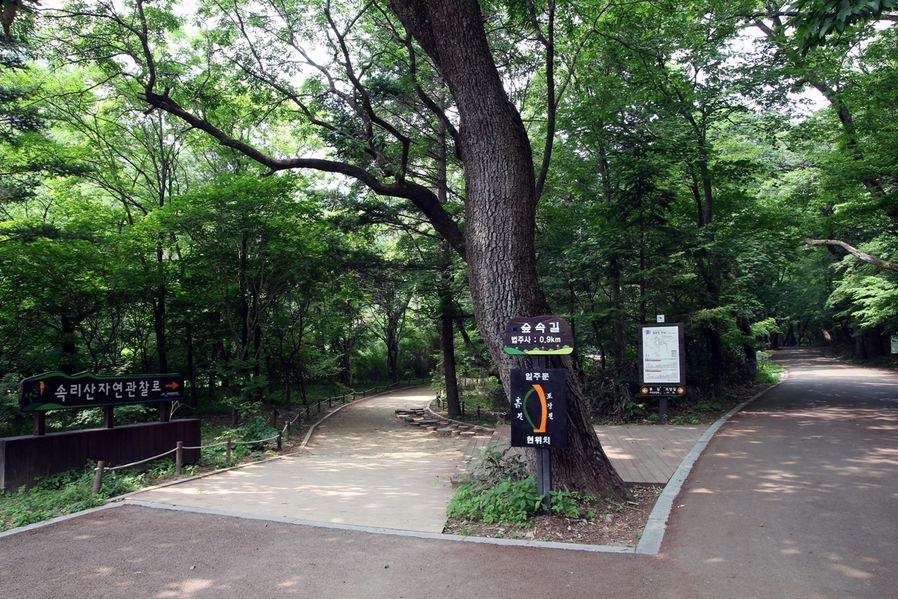
As soon as I entered, I saw Songnisan natural observation trail. These paths lead to Beopjusa Temple, the left one is a dirt path and the right one is pavement. Of course, I'll choose the left one.
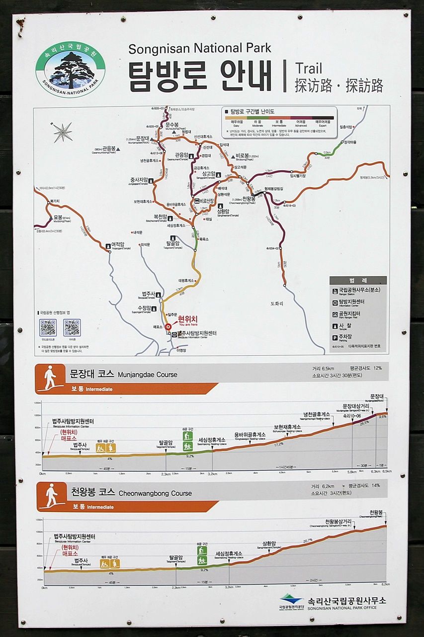

Like I said earlier, I'm going to walk 2.7km until I get Sesimjeong and then come back. It takes 2 hours to get there and come back.
Sesimjeong trail in Songnisan National Park between Beopjusa Tour Support Centre and Sesimjeong is a scenic trail of flat slope. As a proper trail even for the young and the old, you will have to walk the scenic trail created along the reservoir and valley where you will have no trouble with using a stroller or wheelchair.

On both sides of the path, there were pretty plants with red fruits. The fruits were bloomed that somehow looked like western wild berries. They might not actually the wild berries so you shouldn't eat them unless you're sure.
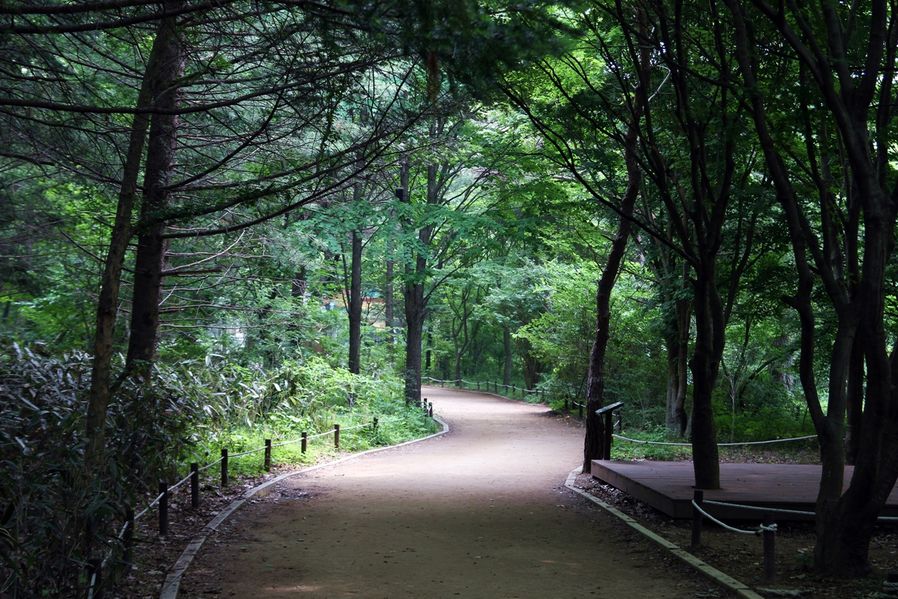
You could just walk along the 2.7km long paved road in the dense forest. Do you think there's more convenient and cosy trail than this?
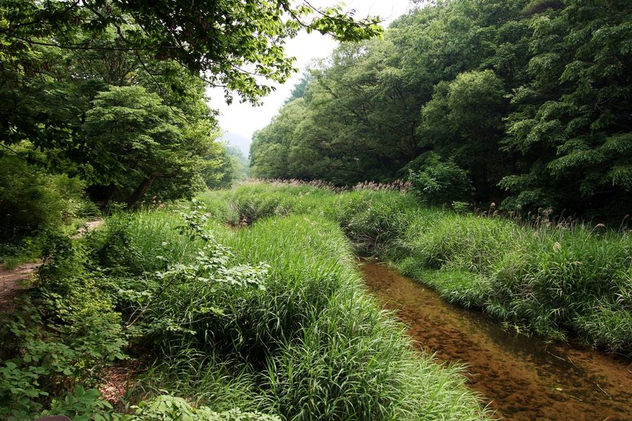
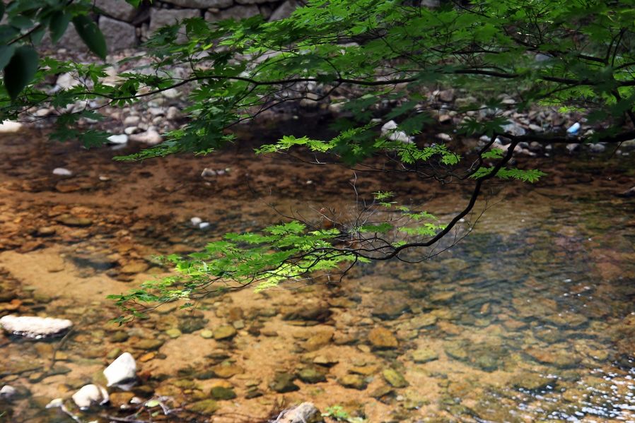
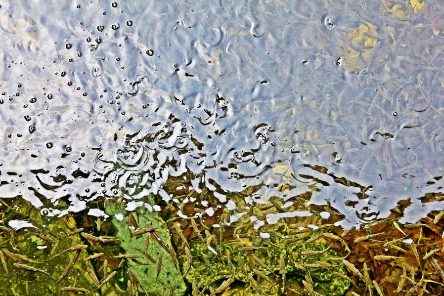
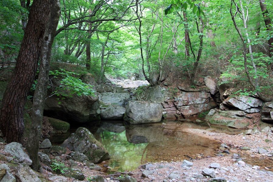
The water was so clean so that I could see a bunch of marsh snails on the bed of the stream. I was not allowed to go down because it's protected so I couldn't take better pictures. For your information, marsh snails only live in the pure water.
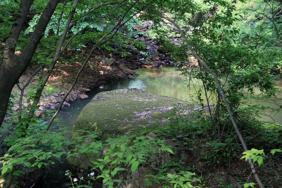
The stream in Boeun also had so many big rocks just like in Mungyeong. A broad and flat rock was there next to the stream and I could imagine people enjoying the arts there in old times. We're not allowed to get in there now, though.
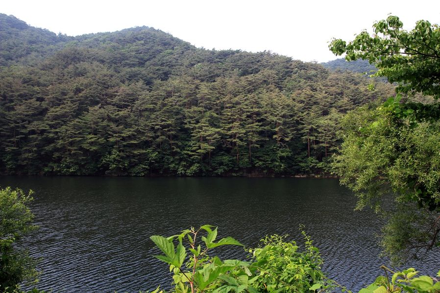
I went up a little further then I could see the reservoir. It's the drinking water so scenic trail around it was strictly maintained around the area.
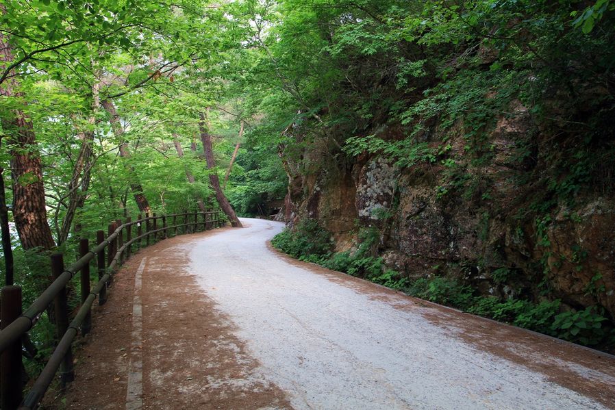
Okay, I walked lightly along the road which was created from cutting the sides of the rocky mountain where I couldn't find any person at all. This feels quite good.
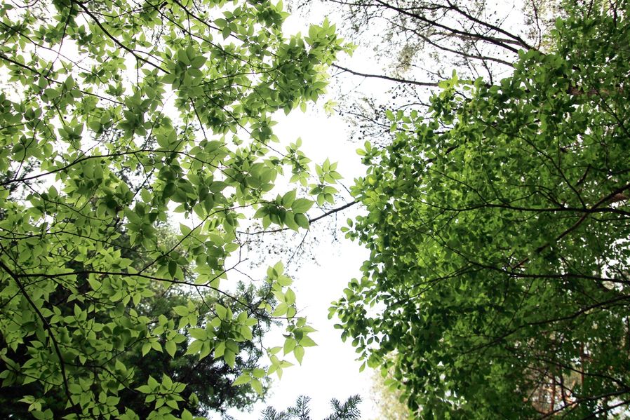
The sky wasn't so blue but the air was fresh. The dense forest stood out especially that day wearing greener color.
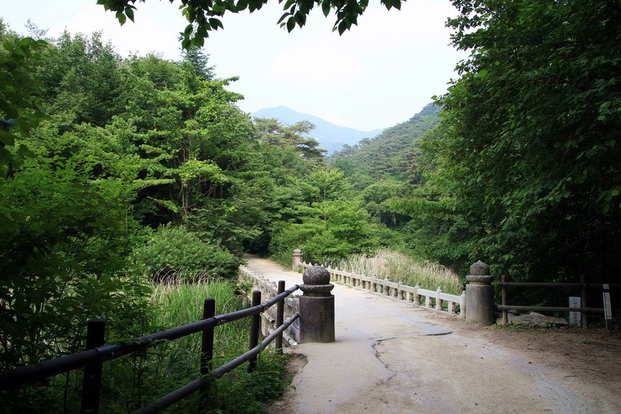
As I passed the reservoir and got to the middle point, there was a bridge that I could cross the stream.
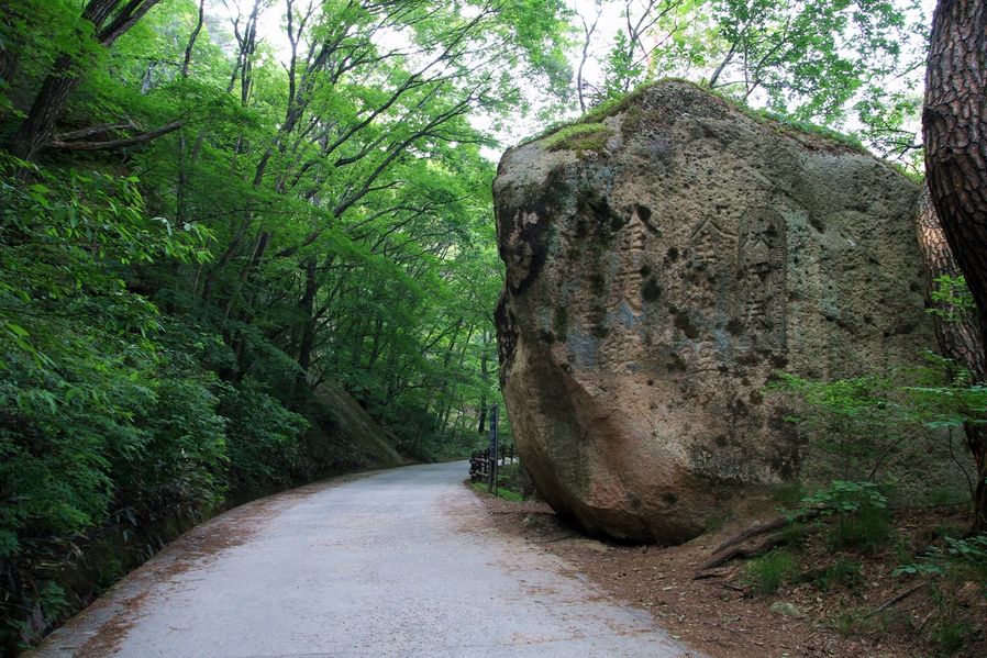
I saw some names of classical scholar engraved on the neighboring rocks. As I mentioned while I introduced you Mungyeong SeonyudongcheonNadeulgil, people love to leave their names in old days and now as well. ^^*

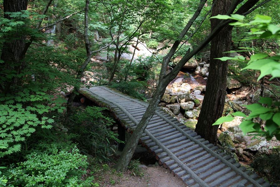
So when I got to 2.7km point I could finally see Sesimjeong three-way intersection. So when I cross this bridge, I could get there. If I go up to the left, I will get to Munjangdae and if I cross this bridge to the right, I'll get to Cheonwangbong.
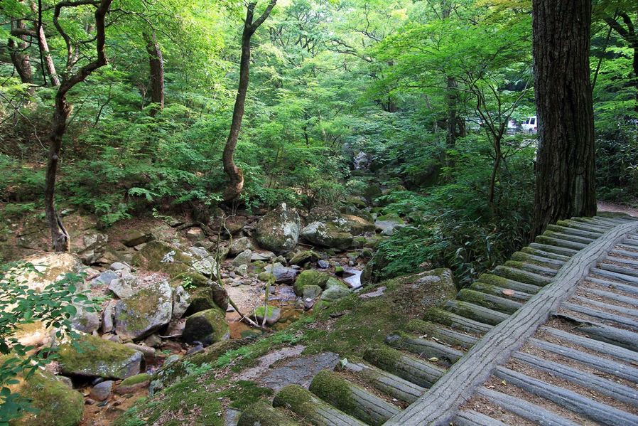
The stream where people cannot access is covered with moss that makes it look like a stream in outer space. I guess prohibiting people from entering into the stream seems like a good idea.
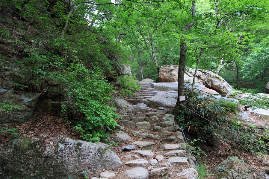
This is the path to Cheonwangbong from Sesimjeong. So when I was about to walk this path made of rocks…
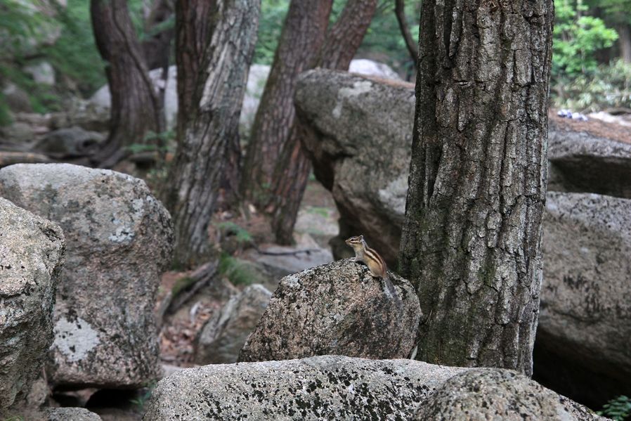
A squirrel was looking into my eyes without even running away. You can only see this squirrel in Korea, isn't it so cute?
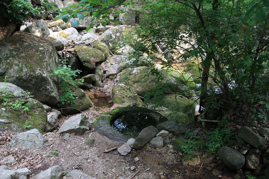
So this is Sesimjeong. This is a large mortar, not a well, and it was used to crush grains after they built a waterwheel here in the 13-14th century. At the time, there were almost 400 small temples and caves where a priest of high virtue, acetics and scholars usually visited to study and those places were used to provide them with food.
※ Touring tips!
- Sesimjeong trails do not require professional clothing or equipment since the grade is slight but it's a round-way trip so you have to consider your health condition and sunset time before climbing.
The weather could get cold due to sudden changes in temperatures in mountain so you have to pack extra clothes and food.
Starting point : Beopjusa Tour Support Center 법주사탐방지원센터


