-
Start
-
Snow Festival
-
Coal Museum
-
Hill of Wind
-
Yongyeon Cave
-
Chujeon Station
-
Hwangji Pond
-
V-Train
-
Buncheon Station
-
Coal Mine History Town
-
Paleozoic Museum
-
Gumunso
-
Finish
A Cabbage Patch with Snowstorms, Hill of Wind on Maebong Mountain (Windfarm)
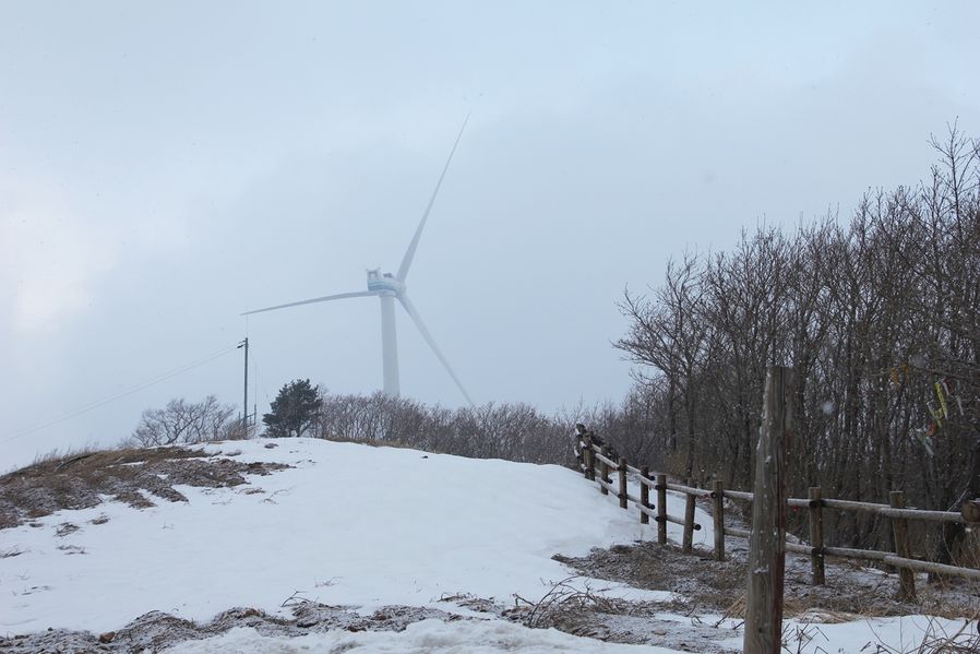
Maebongsan Windfarm in Taebaek, called Hill of Wind, has 8 wind generators along the ridge of 1,330m high Mt. Maebong. You could see a vast truck farm on steep ridge below the top of mountain but it is winter so all of the area will be covered with snow. From spring to fall, you'll be seeing green cabbage patches.
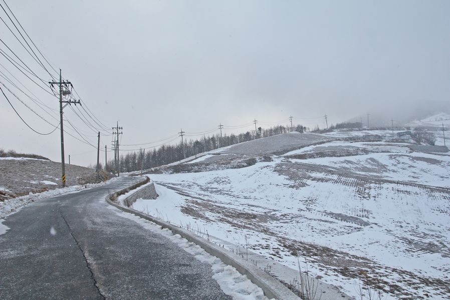
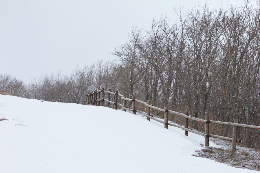
In order to see the snowfield, I was hoping there would be no snow on the road because my car was not wearing snow chains but bad timing, it started to snow when we got to right under the top so we couldn't go up further than the halfway. But it's such a great view so I'll show you a few photos I took.
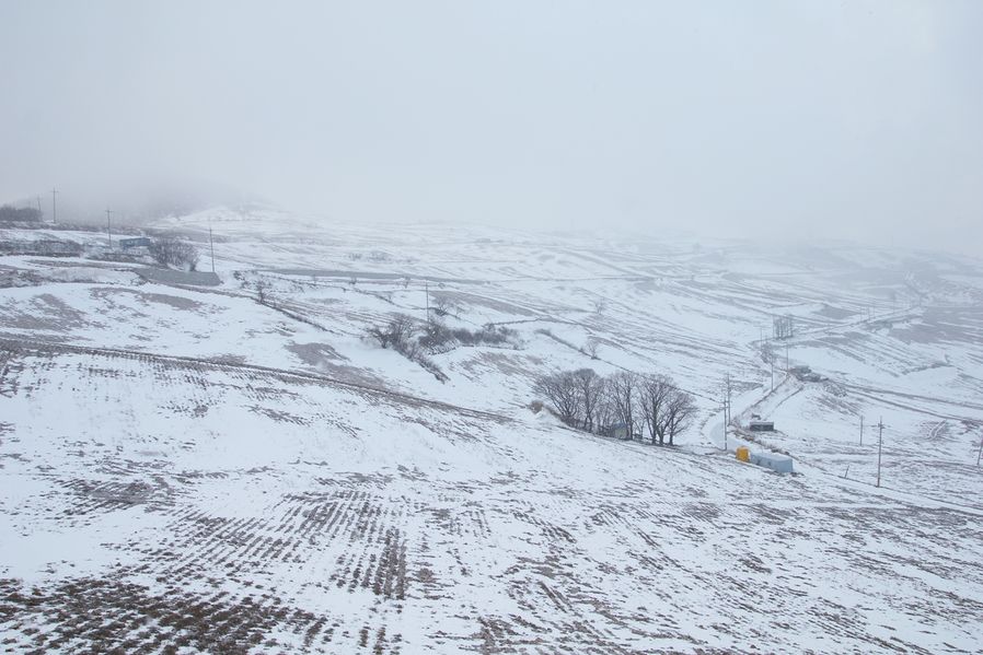
I had no choice but to finish taking pictures halfway on the mountain. It's sad. This 200,000 pyeong(app.660,000m2) district was cultivated and became the biggest high altitude cool regions growing vegetables in Korea.
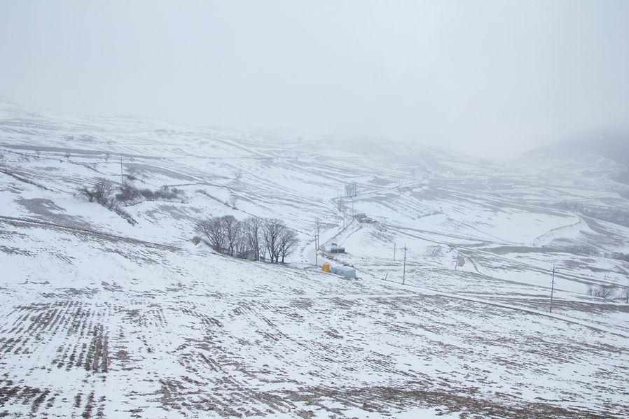
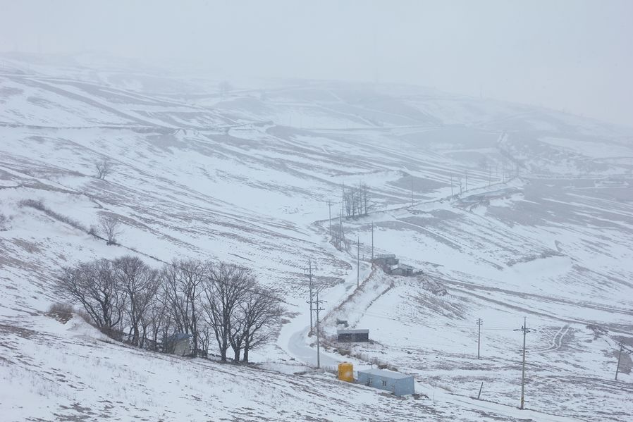
The view is blocked because of snow. But whether it snows or not, the cabbage patches and snowfield look spectacular. You won't be able to stay away from the view, I bet.
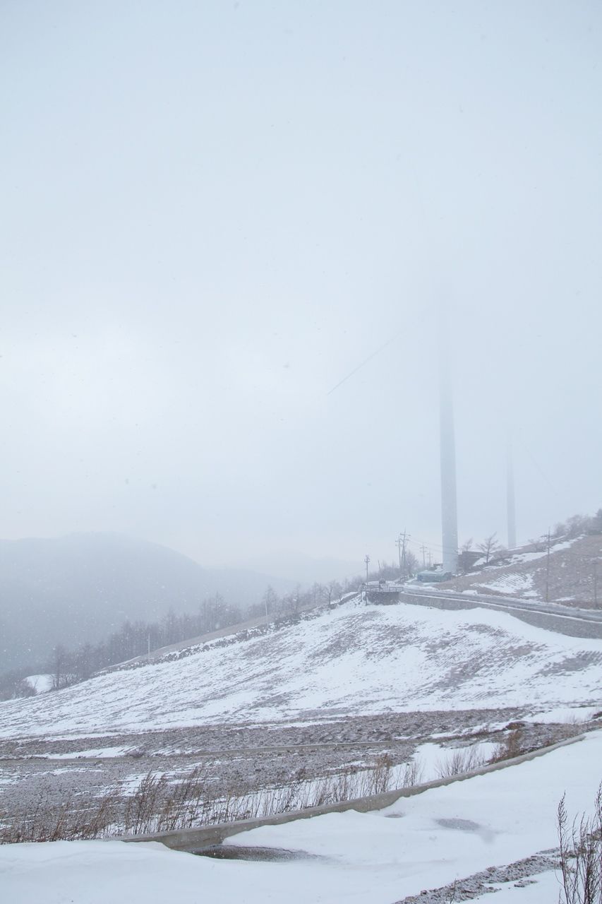
There should be 8 wind generators but it's too snowy. I liked it when the snow was piling up on my head.
Do you see the snow? It looks like it's going to pile up and cover the whole world white.
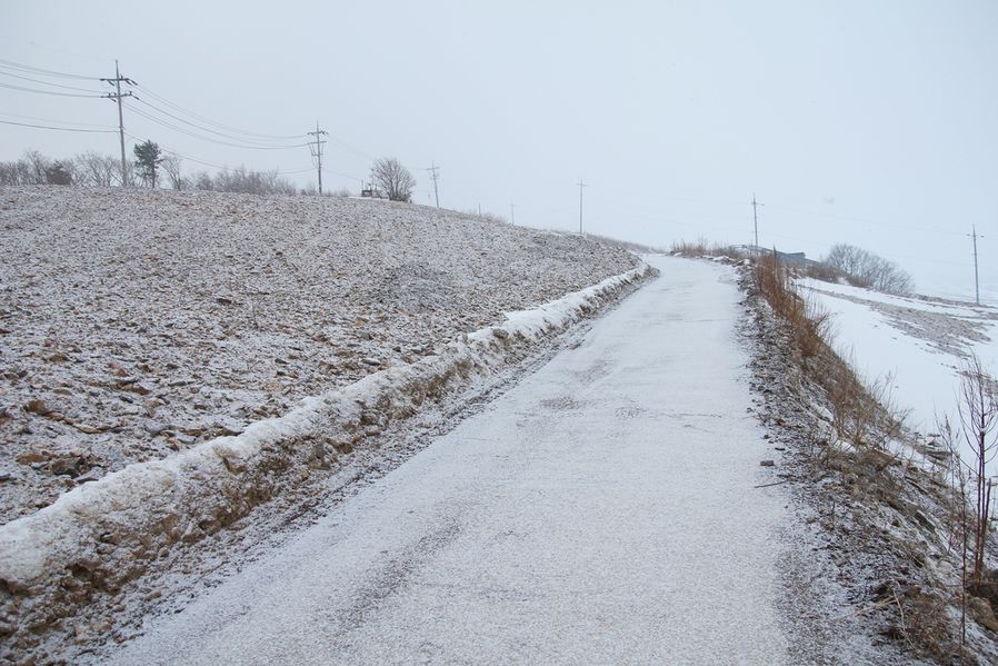
Less than a minute, the road was covered with snow and I couldn't have brought my car back if I stayed a little longer. It's hard enough to walk 10km road but it's more dangerous to walk without any equipment.
Two wind generators disappeared as well. I didn't know it would snow this fast and in Gangwon-do. I climbed a little and snow was sucked into my nose when I breathed, probably this snow is different from the snow in Gyeonggi-do. lol ^^*
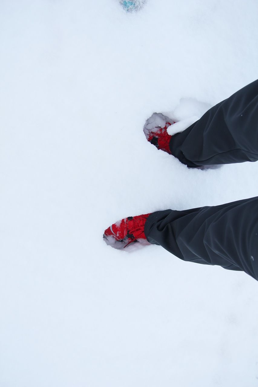
Where the wind blows, snow laid deep. It's something I can't see in a city so I couldn't storm out that spot. lol
Indeed, the weather got sunny next day so I went back there but the whole 10km long road was frozen ice so my car was spinning at the entrance that I couldn't go up. Well, there must've been an accident somewhere to see a tow truck was going up slowly, and I had to give up.
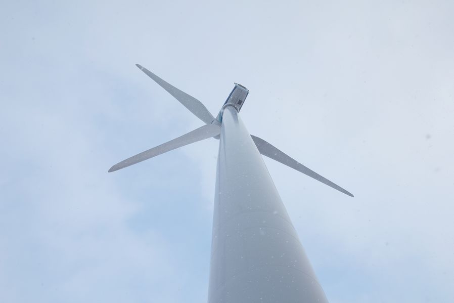
There's gotta be some other color than white to make this scene look more beautiful… Can you see how much it snowed under the windmill? Have you ever lifted your chin up to the sky to feel the snow on your face on a snowy day? It's really soft and lovely. You couldn't do it in a city because it's all polluted but here you can even eat it.
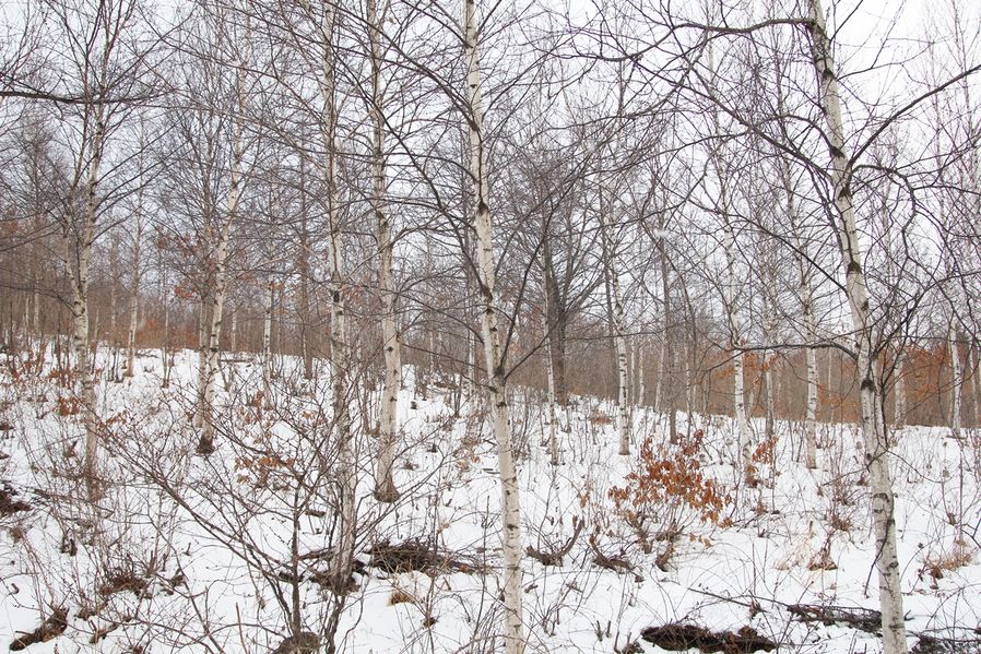
I was crawling back and saw a long birch habitat street, which looks so good with white snow. This tree with white skin was named because it makes 'jajakjajak' sounds when it burns because it contains oil. I bet it looks beautiful with Hill of Wind(Windfarm) whether when it snows or grows green cabbages.
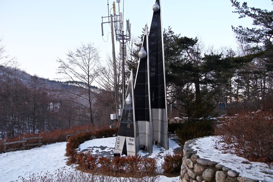
This is Samsuryeong at the entrance where you can see on your way down from Hill of Wind. When it rains, Samsuryeong flows and splits into three directions, when it flows to west it joins Han River in Seoul, Nakdong River in Busan to the south and Osipcheon to the east, so it is a meaningful place where the water splits into three rivers when it rains. I guess this is more like a riverhead.
+ Address : Hwajeon-dong area, Taebaek-si, Gangwon-do
+ Telephone : 033-550-2828 (Taebaeksi Tour Information Office)
*On a snowy day or when the road is icy, cars are not allowed to enter.


