Ongjin-gun was located in the southern west of Hwanghae Province until 3th, November, 1945. It supervised most part of Woongjin peninsula and cities nearby. The administrative division is 1eup 10myeon. (Data source: Wikipedia)
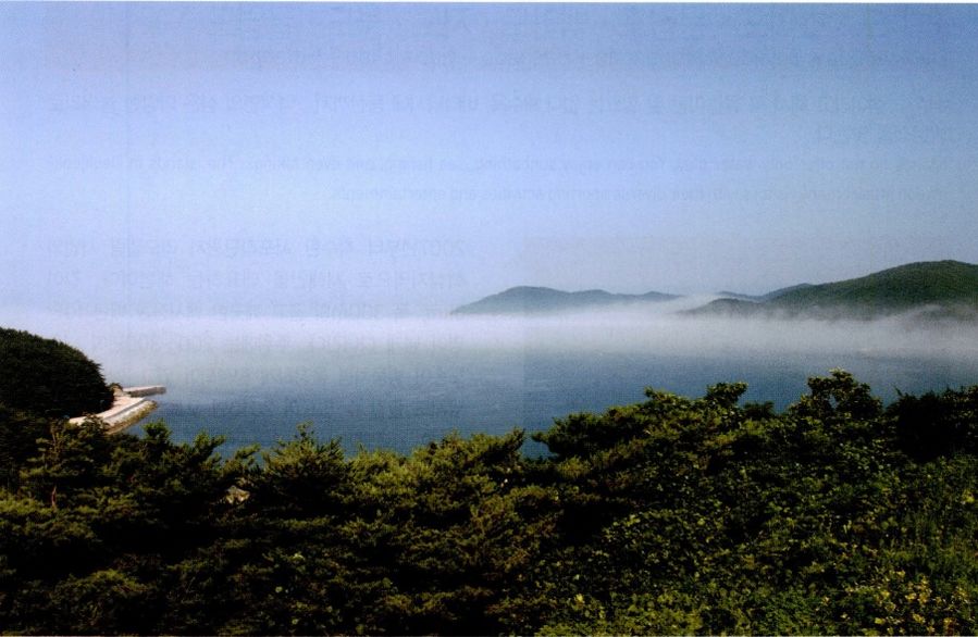
Deokjeok-myeon : You can enjoy sea fishing, mountain climbing and sea bathing
Deokjeokdo island is the best of Woongjin seashore. It has various scenery as it is. In particular, 200 years old dense Haesong forest stretches out the wide sandy beach of Seopo-ri beach. Sweetbrier is beautiful like a smile of young lady. It is the best natural tourist attraction.
Travel information: 032-899-3710 (Deokjeok-myeon office)
Ship information: 032-887-0602 (Daebu shipping), 1577-2891 (Goryo high speed ferry)
Website: www.ongjin.go.kr
● The way to visit
If you use the fastest shipping at the passenger ship in Incheon Yeonan Pier, it would take about 50 minutes. (It is operated two times a day) If you use the ship at Bangameori dock, it would take an hour and 40 minutes.(car ferry is possible)
■ Yeonan Pier passenger ship departs→ Deokjeokdo island
•High speed ferry No.5- 8:00 a.m.(Departure)→ 2:30 p.m. (Arrival)
•Sea friend passenger ship
※ You should check the ship company as the schedule might be changed due to the weather condition.
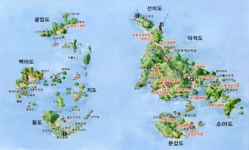
Deokjeokdo Island • Soyado Island• Mungapdo Island•Baegado Island• Jido Island•Wooldo Island•Gureopdo Island
You don't must have fun in the water as it is an island. You can enjoy sea fishing, mountain climbing and sea bathing
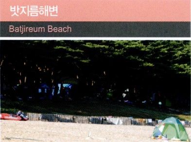
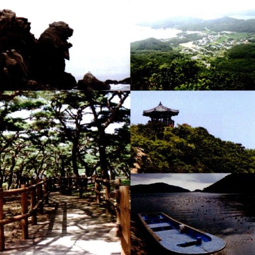
Intact blue-green sea stretches out in front of you. Bijobong peak, on the backside of the beach, oversees the endless horizon. Clean golden beach and hundreds years of Haesong pine are well matched with sweetbrier.
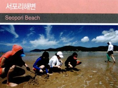
The beach has represented the west sea because it has been the core region for Seopo-ri tourist attraction reconstruction business since 2007. Over 0.1 million people visit the clean and fine sandy beach with 3 kilometers of length and 300 meters of width. The 200~300 years old pine trees have created dense forest around. You can enjoy fishing on the rocks on the seashore. The beach has been raised as the best tourist attraction of the west sea since auto camping site and park have been established in 2010.
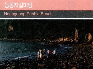
Neungdong Pebble Ground
Book-ri is located eight kilometers far from the northern side of Jin-ri dock. You can appreciate the scenery of romantic coast with wide reed habitat and Neungdong pebble ground. Moreover, it is the best place to enjoy fishing.
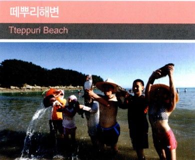
Tteppuri Beach
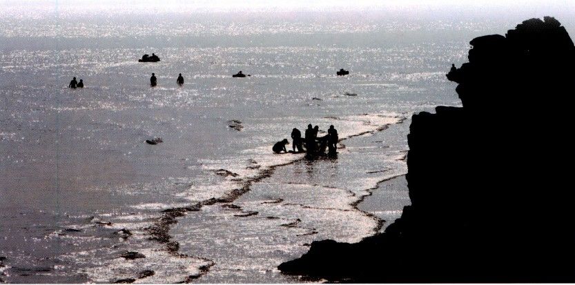
There is a wide lawn camping site in the dense forest. It has preserved the pure nature since there are few people. You can see “Moses' Miracle” if you come in time.
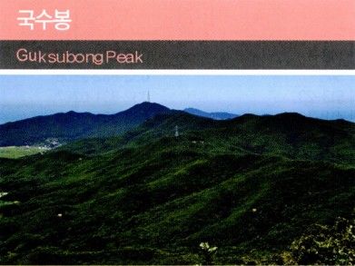
Guksubong Peak
Many climbers visit the trail with hundreds years of dense red pine forest. The sunrise and the sunset are picturesque. The trail has been established in the region of Seopo-ri, Jinri.
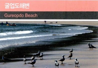
Gureopdo Beach
The sand is so fine that there is none of footprint. The sea is so clean and transparent that you can see the move of your toes. You would feel like flying the sky while walking the seashore.

Hanwol-ri Beach
Hanwol-ri beach, which is small and has a gentle slope, is located on the back of beautiful Mungapdo island. You can catch blue crab, rock fish and Nollaemi in front of the seashore, and enjoy mud flat playing with children. Moreover, you can overlook the scenery of Deokjeok-gun.
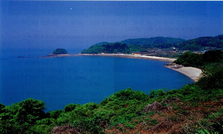
Jawol-Myeon
The sea with mystery, comfort and romance
Jawoldo island is “dark red moon” over the blue sea. Decades years of acacia tree s have formed dense forest in Janggol beach. Various kinds of flowers including sweetbrier blossom in Janggolso park near the beach.
Travel information: 032-899-3750(Jawol-myeon office)
Ship information: 032-887-0602(Daebu shipping), 032-887-2891(Woori high speed ferry)
Website: www.ongjin.go.kr
● The way to visit
If you use the fastest shipping at the passenger ship in Incheon Yeonan Pier, it would take about an hour. (It is operated two times a day)
If you use the ship departing from Bangameori dock of Daebudo island, it takes about two hours. (car ferry is possible)
■ Yeonan Pier passenger ship departs→Jawoldo Island (via Ijak and Seungbong)
•Rainbow- 9:00 a.m.(Departure)→ 2:20p.m.(Arrival)
※ You should check the ship company as the schedule might be changed due to the weather condition.
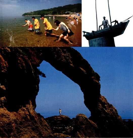
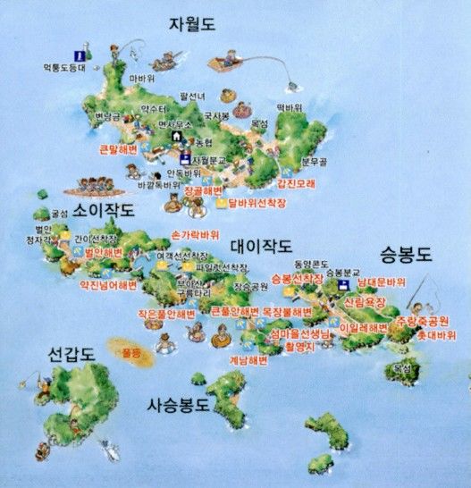
Jawoldo Island•Daeiejak Island•Soijak Island•Seungbongdo Island
Jawoldo Island welcomes tourists friendly. It is fun to step on various pebbles in wide sand of Janggol beach.
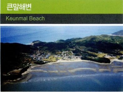
Keunmal Beach
Golden sandy beach stretches out. You can catch living Manila clam, small octopus and conch in ebb tide. The village has administrative office and small elementary school.
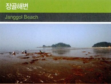
Janggol Beach
It is a natural beach with 1 kilometers dock. The length is 1 kilometer and the width is 400 meter. The sandy beach has a gentle slope. It is equipped with various facilities like small park at the entrance, campground, parking lot, shower room, drinking fountain and joint market.
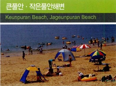
Big Puran Beach, Small Puran Beach
It is the best sea bathing place for families since the difference between the rise and fall of the tide is not severe. You can catch conch, small octopus and crab in ebb tide.
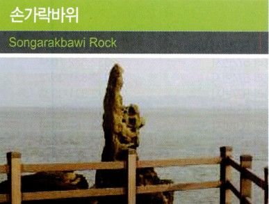
Songarakbawi Rock
The rock is located in the end of Witmokseop, the leftside of big village of Soijak island. It has been called “Songarakbawi rock” because it looks like as if one finger pointed to the sky. While taking a walk on the trail, you can find Kongdol beach.
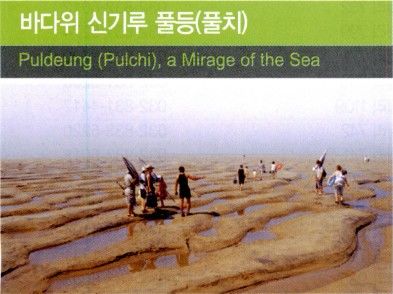
Grassy sandbank, the mystery of the sea
You can see Grassy sandbank for a fleeting moment in ebb tide. The huge 0.3 million sandy field shows up from Saseungbongdo to Soijak island. You can enjoy swimming and fishing. You would have fun with catching blue crab and flatfish.
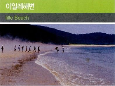
Iille Beach
1.3 kilometers of seashore is clean and has low water level. So it is the best tourist attraction for families.
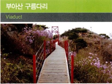
Buasan Viaduct
Buasan viaduct, which length is 68m and width is 7m, was established to make hiking more easier. You can overlook Siseungbongdo and grassy sandbank, the filming site, and Gyenam branch school, the background of the movie,”Island village teacher”, from the viaduct.
Yeongheung-myeon
The islands like pearls from the God
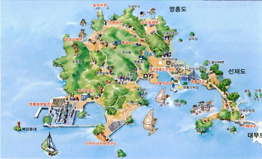
Yeongheung bridge's length is total 1.25 kilometer. It connects the island and the land, attracting many tourists' attention. Small islands over the sea look like the pearls created by the God.
Travel information: 032-899-3810 (Yeongheung-myeon office)
No.790 Bus contact information: 032-886-4747(Sinbaekseung travle agency)
Website: www.ongjin.go.kr
● The way to visit
Seohaean Expressway→ Wallgot IC→ Siwha breakwater→ Daebudo Island→ Seonjaedo Island, Yeongheungdo Island
No.790 bus is operated 18 times a day(from Woongin country office, Yonghyeon-dong, Incheon to Yeongheungdo Island)
You can make a reservation for tourist bus(more than 25 people)
Yeongheungdo Island •Seonjaedo Island
You may not enjoy journey on a ship for a long time, but you can go Yeongheungdo island and Seonjaedo island whenever you want.
Janggyeong-ri Beach
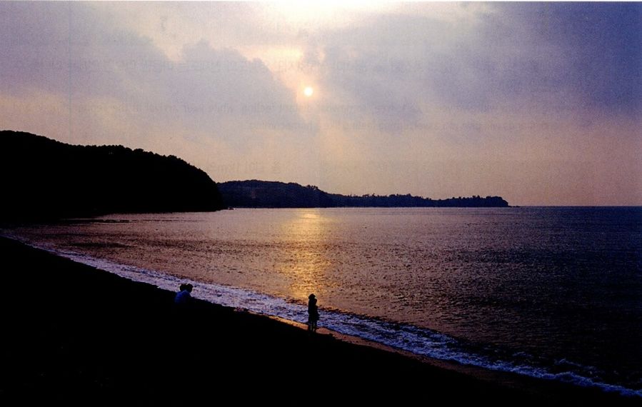
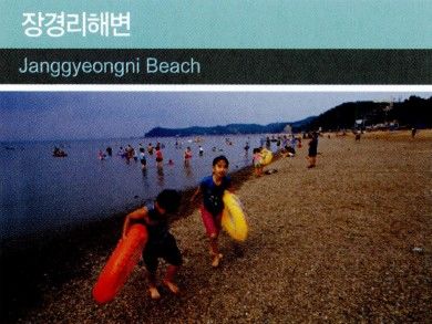
It is the best place to enjoy camping in the pine forest on the back of the beach. In particular, the sunset in summer is so wonderful. It has well-equipped accommodations.
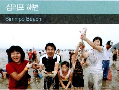
Simnipo Beach
The sound of the wave hitting large sands and small pebbles is amazing. The lighting of Incheon International Airport looks splendid at night. There is the Korean hornbeam forest on the back of the beach.
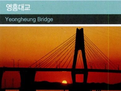
Yeongheung Bridge
It is the sea cable-stayed bridges which is firstly built in Korea in 2001. It is two-lane expressway with 1,250 meters length and 9.5 meters width connecting Yeongheungdo island and Seonjaedo island. Along with Seonjaedo bridge, Yeongheung bridge is the best driving course in day, and the best place to enjoy splendid night view at night.
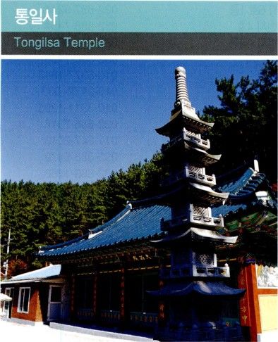
Tongil Temple
Tongil temple was built for displaced people those who miss the families in North Korea. In fall, reeds cover the whole mountain. So many couples visit here to enjoy dates.
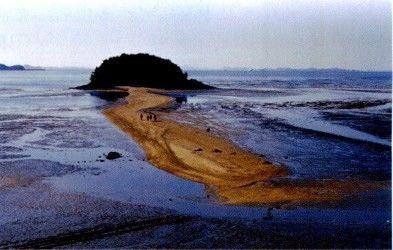
Mokseom Island
The road has been made of sand. The snow scene of Mokseom island is out of this world!
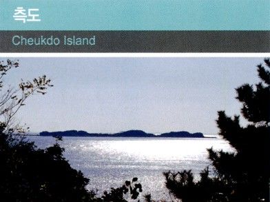
Cheukdo Island
Cheukdo island is separated with Seonjaedo island in rising tide, but connected with it in ebb tide. You can enjoy fishing in beautiful coast and scenery. Beach consists of tiny pebbles.


